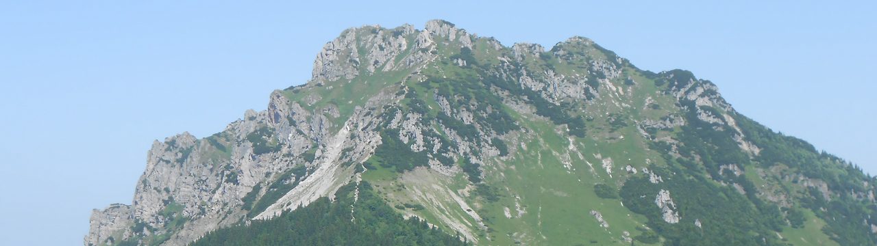
As I said in the monthly summary, I went on a week-long hiking trip in August, and this post will share my thoughts from the first part.
As a minor prelude, I visited part of the area back in Autumn 2013. Just like this time, it was with the hiking club I’ve been part of since 2005, but back then, it was a 3-day trip, which meant we could only see so much. This time, it was a week-long trip, and as I was the one planning it, I had the luxury of choosing which places to see. And because some of the places visited back in 2013 are quite iconic for the area, many of them were included. But more on that later.
Because the trip to the area is roughly 6 to 7 hours long, the first day had no major hike. Instead, we stopped by a castle ruin, with the option to take a shorter walk around the area, in addition to visiting the ruin. I opted out to do the loop first, ascending to a peak that hosted another fort a short time, as the owners of the castle had some problems with the rulers and had to evacuate. This secondary building was thoroughly ruined some 600 years ago, and little was left, so I continued to a lookout nearby.

From there, the trail took me across fields, woods, and a campsite below the castle to the castle itself. Abandoned in the 1700s, it faced its fair share of looting, treasure seekers, and scavenging, but it’s still one of the more preserved ruins, with some restoration work done so that the most preserved part can be used for events and weddings.

The first full-day hike of the week was in the nearby village, which is known as a ski resort and the site of a long-distance cross-country skiing race, but it has a lot to see even during summer. I ended up with a minor improvisation and reversed the direction of the planned hike so I could rest at a lake that would, otherwise, be at the beginning of the day’s hike.
Not a long time after setting out, I came across a couple of rock formations, though their position in the forest made it quite hard to find a decent angle for photos. I kept walking around a fair bit to try my best, with mixed results.

My next point of interest was a small lookout tower – the oldest metal lookout tower in the area. On a clear day, it provided a good view of the surrounding area.

The trail had me go up and down alternatively, though rarely for a long time – I like that as it doesn’t overtax one muscle group. At some point, I stopped to admire an overgrown boulder in a stream that has been showing clear signs of 2026’s insanely hot summer, given the low amount of water.

The trail then led me to the largest water reservoir in the area, used as a source of water for the towns below the hills, then up again around a former glassworks hamlet towards one of the main paths.

And while a good chunk of it is in a forest’s shade, it also has some clearings with chalets that were full of people on such a nice day.

Eventually, I reached the second reservoir, which provided a nice place to rest and cool down, which I used for a 30-minute break.

After that, I enjoyed a calm walk through the woods to finish the loop and reach the village where we had our meet-up point for the day.
The third day was planned to be one of the nicest places of the area and the “big memory trip” – it covered a good chunk of the places I visited back in autumn 2013, while also covering some I skipped. Though to do that, I had to push myself quite a bit. The “official” large loop was planned to be ~26 km long. And this was the warmest day of the week.
The day was quite hot from late morning when I started up the first hill. As many in this area, the peak features granite rock formations, though being in the woods, it makes taking photos a bit harder. The peak has a lookout as well, which is quite iconic, but taking photos of the lookout itself is tricky because of the terrain, so I’ll share a different part of the peak.

From there, the trail leads to one of the larger waterfalls in this area.

Switching trails, I took a U-turn and descended to reach another valley and seek more waterfalls, fully aware of the risk that there won’t be much water in them, given that Europe’s been facing a heatwave pretty much since mid-June with only small breaks.

Being on a trail that led through the forest’s shade was a welcome relief, though. Ascending again was made somewhat more pleasant compared to an exposed trail. The low amount of water turned one waterfall into many – I guess I’d need to be there in early spring thaw or during late autumn rains to see its full strength.

After reaching the upper trail, I took a short break at a shack with a cold beverage – by this point, it was midday and the heat was easy to feel even in the woods. And I had the rockiest – pun intended – part of the trail still ahead. This included several lookouts. The first one in this area provided a limited view of the rocky peak I ascended earlier that day.

The trail wove tightly between rock formations and trees, making me weave between them in interesting ways, before I reached the more open area, where I could enjoy the low highland forests and the sight of the next peak right in front of me.

And, eventually, the view from the peak itself.

The beautiful day made me quite happy, especially knowing that there was still a lot left to see, but I also enjoyed some more ordinary sights in the hills.

Eventually, I reached another charming peak, the highest in a chain of several rock formations continuously sloping down. And while it looks even more charming in autumn, once the leaves get more colors, I enjoyed the summer sight quite a lot. Though I also admitted I’d like to return here again in the autumn, eventually.


Reaching the lookout of the second peak meant weaving up and down again, but it was worth the effort.

Then, the trail led me sharply downhill, where I made my way closer to a waterfall that’s a bit hidden – but I couldn’t resist.

Only to go uphill again for the third lookout a moment later. By that point, I was getting quite exhausted, but I was too stubborn to give up.

And, just as much, I wasn’t willing to skip a small detour to the last waterfall of the day.

By that point, I was out of water and with a bit over an hour left, so I picked up my pace to return to the village where I started in the morning, the total distance eventually reaching 32 km.
The fourth day was a “free day” – with a mandatory break for the driver, it was up to everyone to decide what they wanted to see nearby, with the official goal being a peak just above the town, known for the iconic TV tower, but there’s a lot to see around as well. So, instead of taking the shortest route straight from the upper end of the town, I took a train to get me a bit farther from the town.
I started by reaching an abandoned quarry – though, given it was abandoned for decades, it was quite overgrown. The lookout there provided a limited view in one direction.

From there, after reaching the pass, I took the main trail, reaching the first rock formation.

The trail then gently ascended to a higher pass with a parking lot for those who want easy access to the peak. Instead of taking a direct trail, I headed towards another rock formation, where I caught up with my parents, who took the short trail from the town.

Together, we continued to the third lookout, where the main peak and the iconic tower were on full display.

After a short break for some photos, we split up again, and I continued at my own pace towards the main peak. Despite the crowds, I managed to take a couple of photos there as well, before moving on.

Given that it was an easy hike, I took a couple of extra turns to extend the hike a bit through the surrounding area, though I missed one of the other rock formations I wanted to see, as there isn’t a marked trail and I was lost in thought. But I was happy to get something a bit easier overall. As I returned to the hotel, half of my holiday was over, but there was still a lot to see in the other half – which I’ll share in a future post.

