
Slovakian mountains contain some of the nicest places I’ve seen and reaching many of them can be serious challenge of one’s strength. Dense forests with not-so-small chance to encounter brown bears (good that I haven’t met one yet), wide fields and peaks of jagged granite reaching over 2500 meters of elevation dominate the landscape, but even below the peaks are places worth notice.

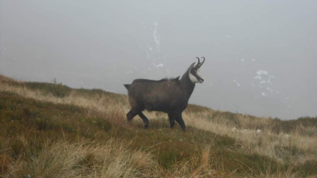
Deep valleys with sharp ascents and long ridges are the typical part of the landscape, the grassy plains in elevations around 1500 meters being home to myriad of endangered and very beautiful flowers.
The destinations I visit the most are the four major mountain ranges: Vysoké Tatry, Nízké Tatry, Malá Fatra, and Velká Fatra. In addition to them, there are other places of note I’ve visited, and many I haven’t seen yet.
Vysoké Tatry
I’ve visited this area on a small amount of one-day trips and two week-long stays: the east portion back in 2009 and the west portion in 2017. The main peaks are way over 2000m ASL (1850-2250 for the west part, 2000-2650 for the east part). With the exception of Rysy (2503m ASL, accessible by hiking trail) and Lomnický štít (2634m ASL, accessible by a cabin lift with pre-order/waitlist of several days), all the 2500+ peaks are not accessible without climbing gear and a permission.
Unlike the north side (located in Poland), the Slovakian side is not as rich on the shallow lakes. Jagged granite peaks and long valleys (sometimes over 10km) dominate the landscape. Waterfalls of varying length can be found in some of the valleys or on the steepest slopes, many of them unaccessible but visible from distance.

My visits to Slovakia are limited to group trips and hiking there is both the most difficult and most exciting part of any hiking season. As I have lots of memories to that place, I’m likely to share my thoughts about them sooner or later.


The 2017 stay was, so far, one of the most intense hiking holidays I’ve had, with total distance walked at 159,5km and total vertical climb of 10030 meters during 8 days.

Nízké Tatry
Across the wide valley is the lower ‘cousin’ mountain range, most of the main peaks in 1750-2000m ASL (highest at 2043). In addition to a few one-day trips, I’ve stayed there for four days in 2018.
Some of their portions are limestone-based which gives them a different look.
I’ve first visited the highest peak of this mountain range back in 2006 and returned in 2018 – both cases in September and both cases with the moutain consumed by clouds.

Vel’ká Fatra
This place is a swath of almost-untouched mountainscape featuring the longest valley of Slovakia (26km) and peaks in the 1300-1600m ASL range (highest at 1596). While many peaks are covered by dense forests (and inhabited by brown bears), the major peaks are highland grasslands and thus avalanche terrain in winter.

So far, I’ve visited this mountain range on a few one-day trips, some of them being legendary for the bad weather while others were just as legendary by perfect weather.


Malá Fatra
A long and beautiful mountain range split in half by Slovakia’s longest river in a place that’s a nasty chokepoint in case of traffic troubles (until they finish the highway tunnel). The northeast portion is dominated by several grassy peaks reaching above 1550m ASL (highest peak at 1709) and the dolomite peak of Vel’ký Rozsutec (1610m ASL). Due to its beauty, the southwest portion is often overlooked (partially due to lack of infrastructure).

I’ve first visited the mountain range with my family back in 2004 and, since then, I’ve considered Vel’ký Rozsutec the most beautiful mountain of Slovakia (and put its image as the web’s header for that reason).

Thus, the mountain range is a place where I love to return (and try to do so at least every other year, if not each year).

Other places
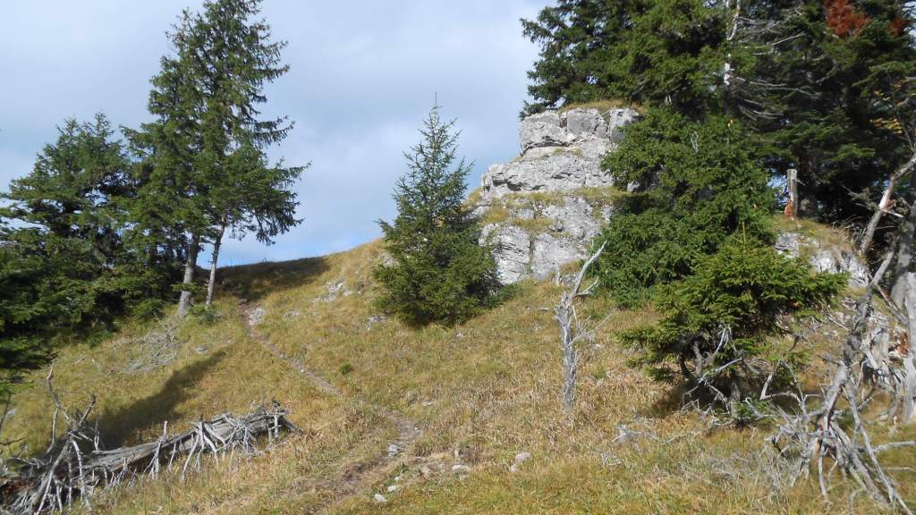
The other significant places are many – the ‘Chočské vrchy’ mountain range is worht a mention, forming a ‘joint’ between Malá Fatra and Vel’ká Fatra mountain ranges with a few more limestone peaks.

‘Strážovské vrchy’ mountain range then follows the south end of Malá Fatra with a few more pieces of rocks and wilderness – and were the first place in Slovakia I visited for a hike, back in 2001.
And, of course, several more locations…
