Most of Poland’s mountains are located on the border with either Czech Republic or Slovakia. When the last ice age was coming to an end, the receding iceberg created long valleys and steep peaks of imposing heights and in those ravaged valleys, several lakes of varying size can be found. Reaching most of the tallest peaks (if it’s even possible) often requires long walk through the valley followed by sharp ascension where full use of all four limbs might be needed.
Traveling to the mountains of Poland was, for a long time, rarely done even as a group event with a hired bus (and thus free of the awful schedules of cross-border public transport) This changed in the late 2000s when the Cieszyn – Zywiec highway was built and drastically reduced the travel time.

The closest locations are thus in decent reach these days. Unfortunately, the network of trails is not as wide in some of those places and thus they are not planned as often due to potential repetitivness.
Apart from several one-day trips, I had two major stays in Poland: In 2015, I visited the Polish side of Tatry mountains (the north side, the south side is in Slovakia). In autumn 2017, I visited the Bieszczady mountains in the far southeast corner of Poland.

The Polish side of Tatry mountains has most of its charm in the long valleys with several glacier-shaped lakes (mentioned at the very start) located, for the most cases, in elevation between 1300 and 1800m ASL.

South branch of ‘Dolina Gąsienicowa’ valley with its lakes (8/2015)
The main peaks then reach above 2000m ASL with the highest peak of Poland being on border with Slovakia (the border-situated sub-peak at 2499m ASL, the main peak a few meters aside at 2503m ASL).

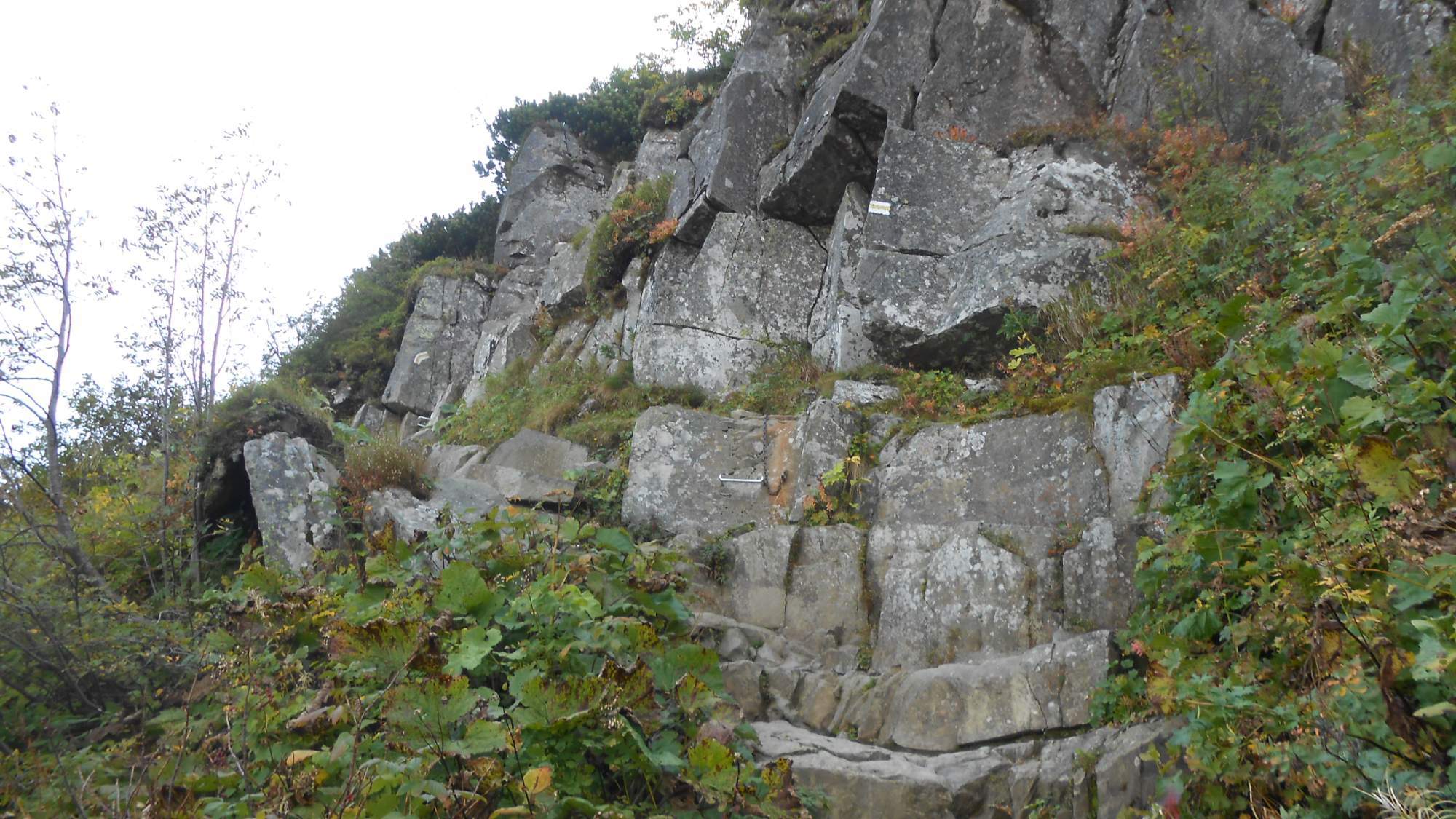
From the lower lake, it becames a steep ascension (save for walk around the upper lake) with several harsh portions above the 2250m mark where using both hands becomes a necessity.

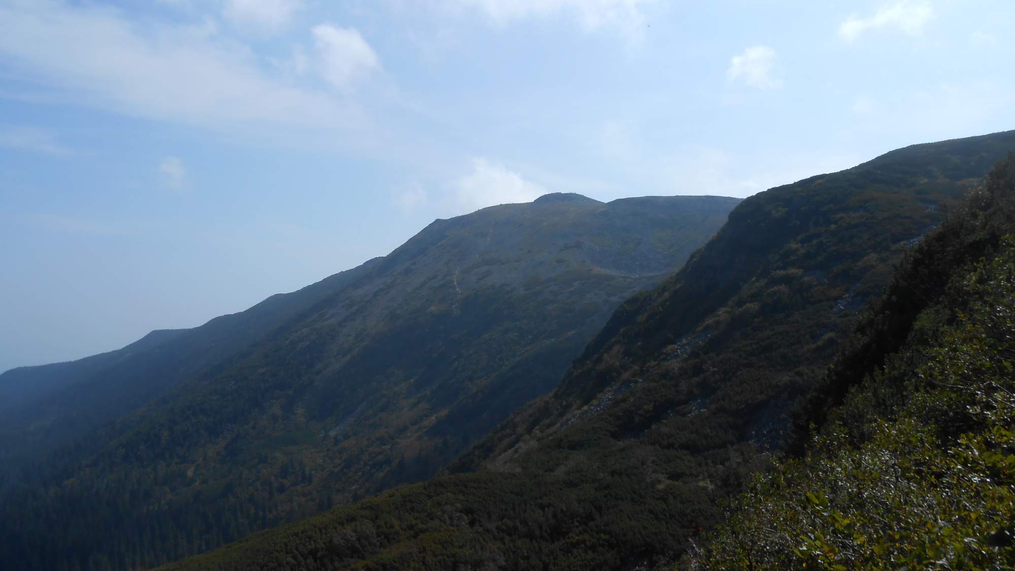
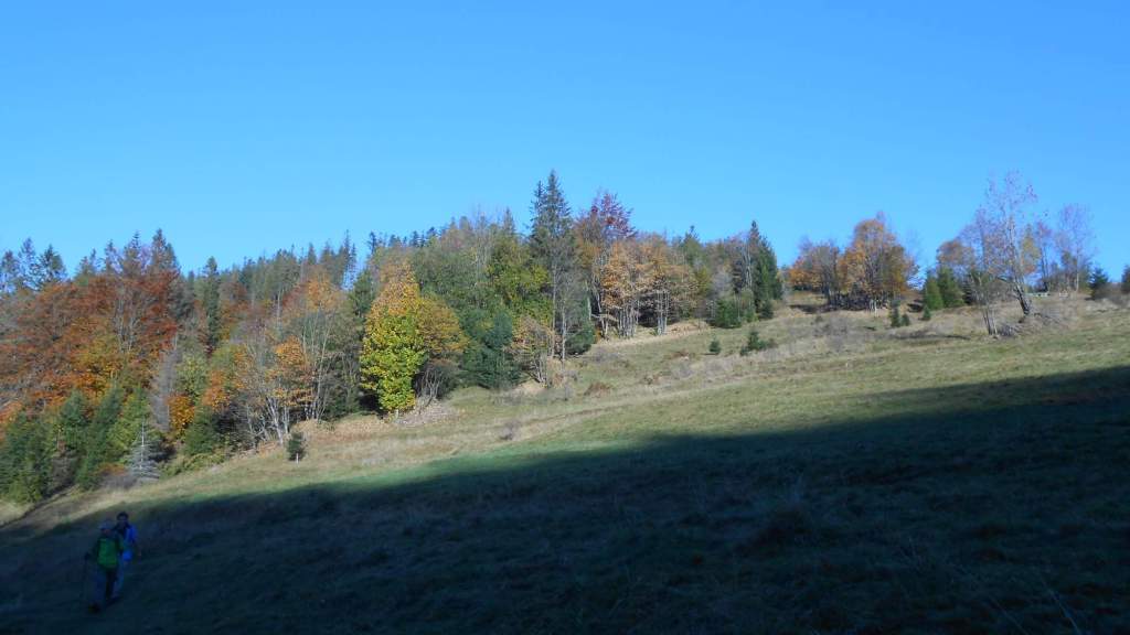
The Biesczady mountains I visited in 2017 (and the four days in four blog posts) are, in contrast, typical for the endless forests in the lower portions (which make it charming in autumn) and the grassy plains around the major peaks (around 1300m ASL).
In addition to these, the ‘Babia Gora’ peak (1725m ASL) is well known hiking destination – and a peak known for treacherous weather.