
As I’ve said at the end of my previous hiking post, I had an extended weekend stay planned for the end of October. The promise of colorful woods and rolling fog was the main treat but the end of October is when the weather starts leaning towards the rainy day of November so being prepared for rain was crucial.
And I’ve unintentionally made the best preparation I could.
As it’s still dark around 4:30 when I was leaving my home, I forgot the sunglasses. Sure bet to draw the sun out, by the sheer power of Muprhy’s laws.

Day one – heavy breathing
Now, not everything was ideal – I spent a few days home with cold a week before departure and I was still not 100% fit. For that very reason, I looked forward to this weekend, hoping that the autumn’s mist-filled forests will help me clear my lungs.
The first day’s hike started in the town Kremnica. The place was known for mining silver and gold since the 10th century until ~1970 and eventually became the place where coins were made since the 14th century – first for the Hungarian kingdom, then the Austro-Hungarian empire, Czechoslovakia after the first world war and nowadays Euro coins.
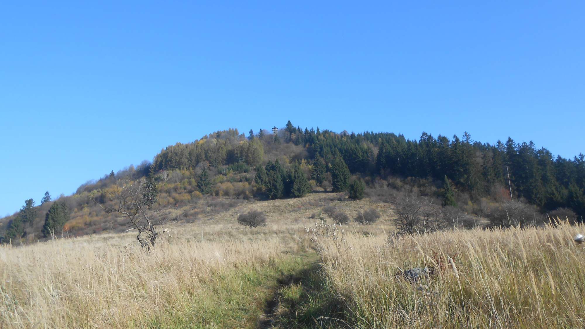
As the museum of coin making is closed during weekends (WTF?), we headed straight for the hills – specifically, the hill above the town with a lookout tower. The morning was relatively cold but the sun still had quite some power and the walk uphill was enough to warm us up.
After a short break at the lookout – which was nowhere near its full potential due to the remains of the mist – we continued onward, descneding back to the valley and then ascending towards the main part of the hills.
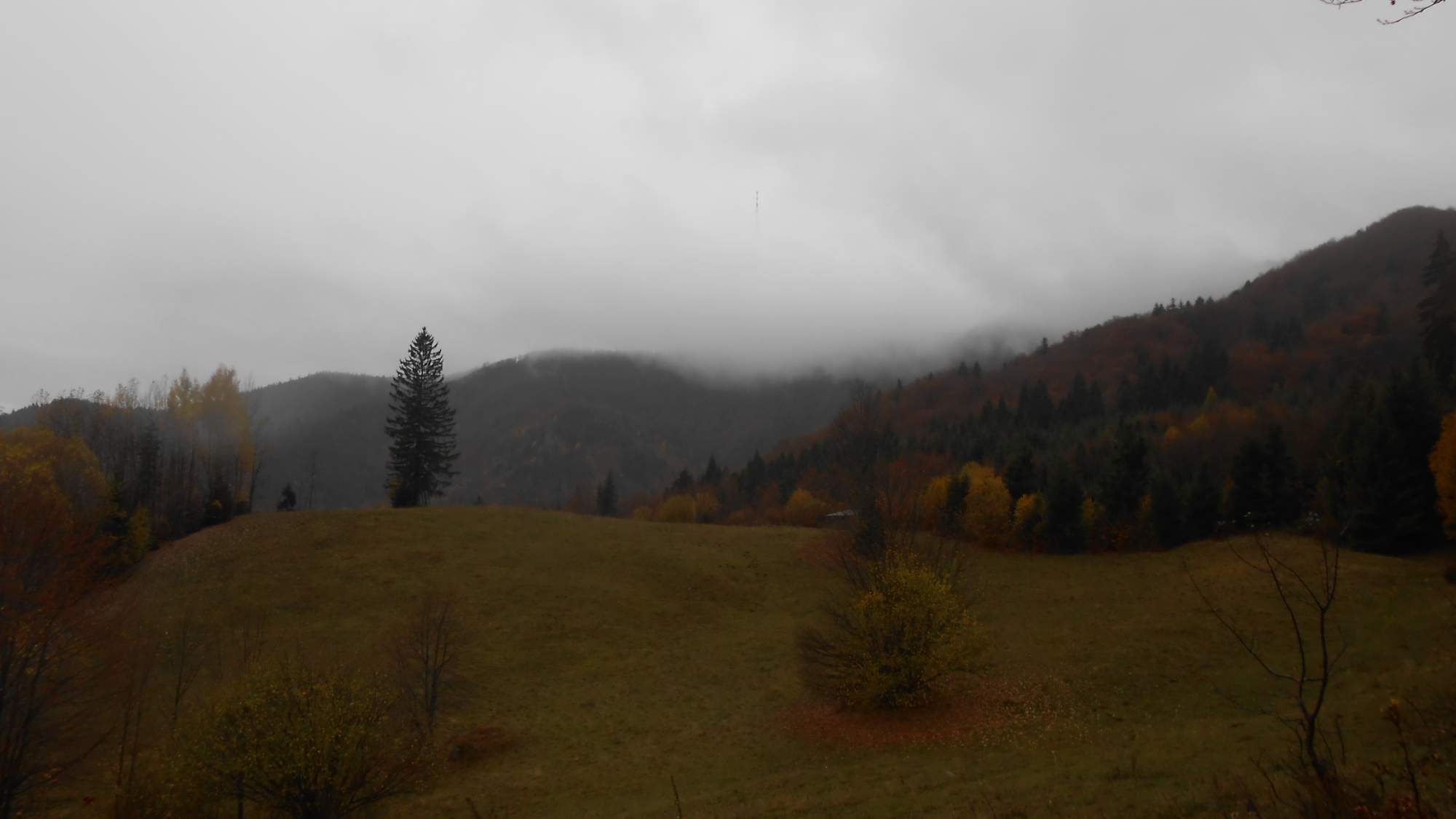
Eventually, we reached the chalet (the first photo) – closed because it’s far after the Summer season and not the Winter season yet. I guess no one expected the end of October would see weather suitable both for hiking and cycling (the temperature peaked around 15°C).
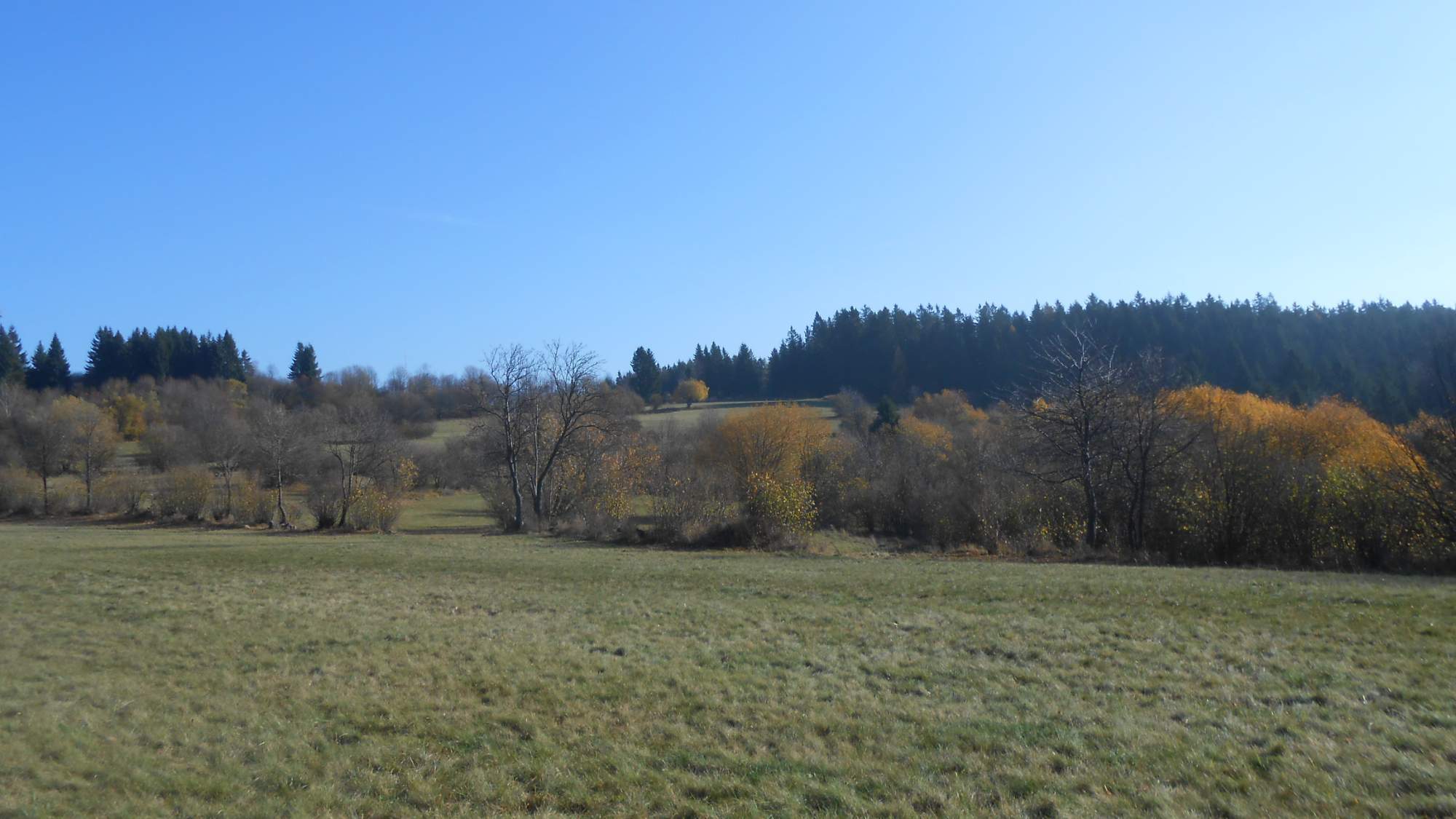
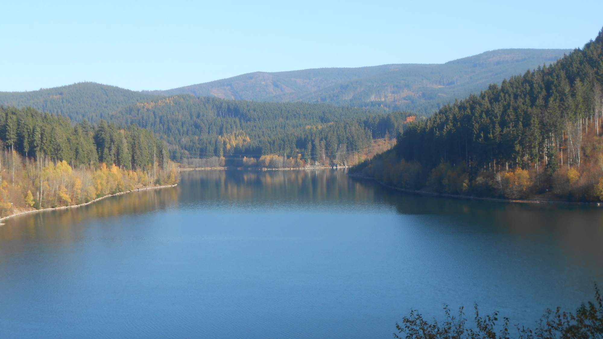
Before reaching the chalet, we had the above-pictured opening showing us our destination: the ski resort Skalka (named after the peak above it, the one at the side with the transmitter) where we’d spend the next two nights.
From the closed chalet, it was a relaxing walk on the main trail all the way to the transmitter, then down to the hotel below it. While the midday was warm, the temperature started dropping around 15:00 which was a bit unpleasant – the hotel staff was to come at 16:00 (being between summer and winter seasons, our group of 50 people were the only guests).
Day two – A cold morning
The second day led us to the highest peak of the mountain range – though ‘peak’ might sound a bit strange (more on that soon).
Being late October, it meant the nights and mornings were cold – and leaving the hotel meant searching for at least thin gloves. We started in a village in one such long valley, ascended a bit above the valley as its end was turned into a water reservoir, only to descend to the unflooded part.
After reaching the valley’s end, the trail began a relatively pleasant ascension. The main peak is, in fact, quite flat – the last kilometer was quite close to flat terrain (going from 1290 to 1317m ASL).
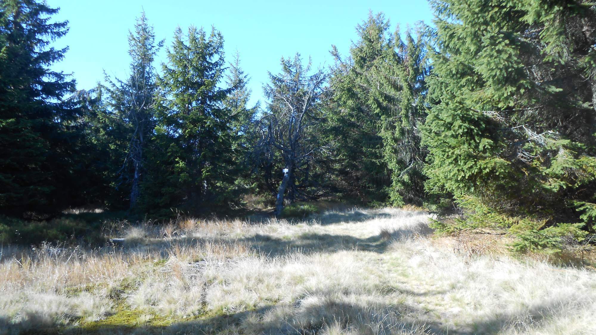
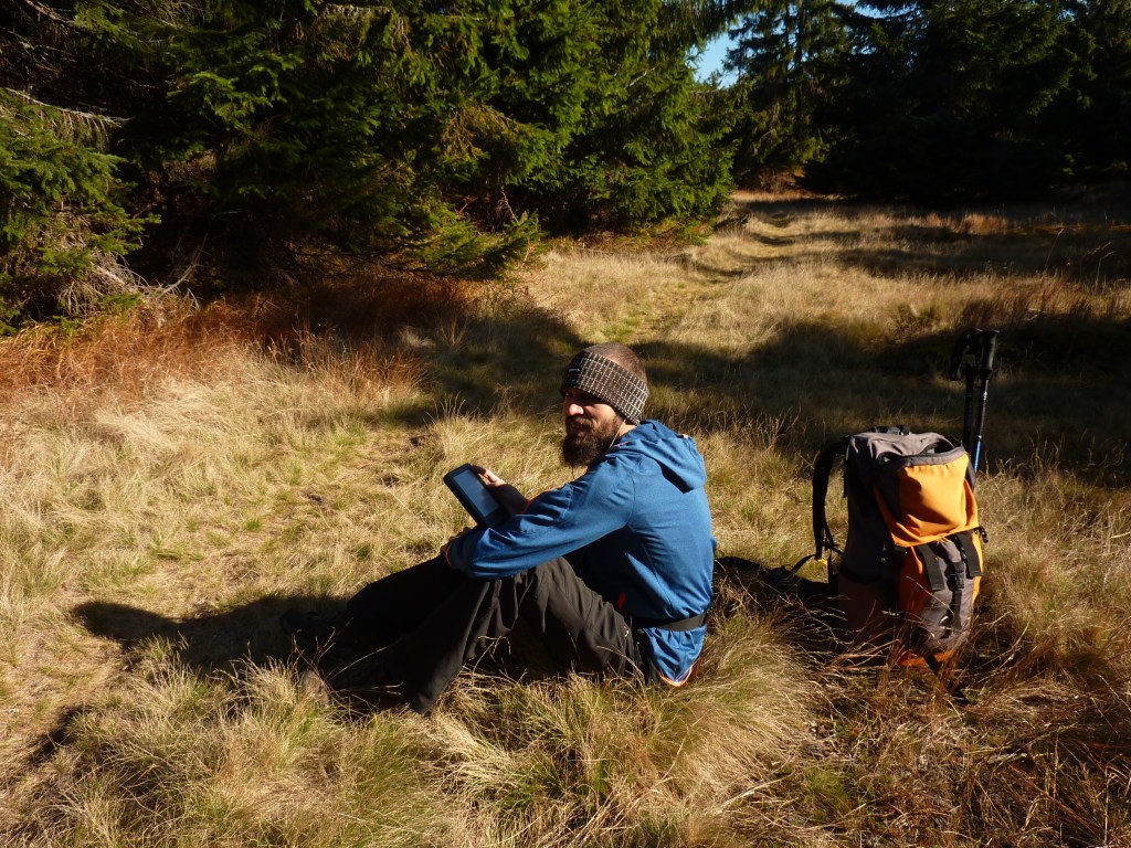
All that marked the peak was a simple plate on one of the trees, the text bleached by the sun. It was a pleasant place for a break, though.
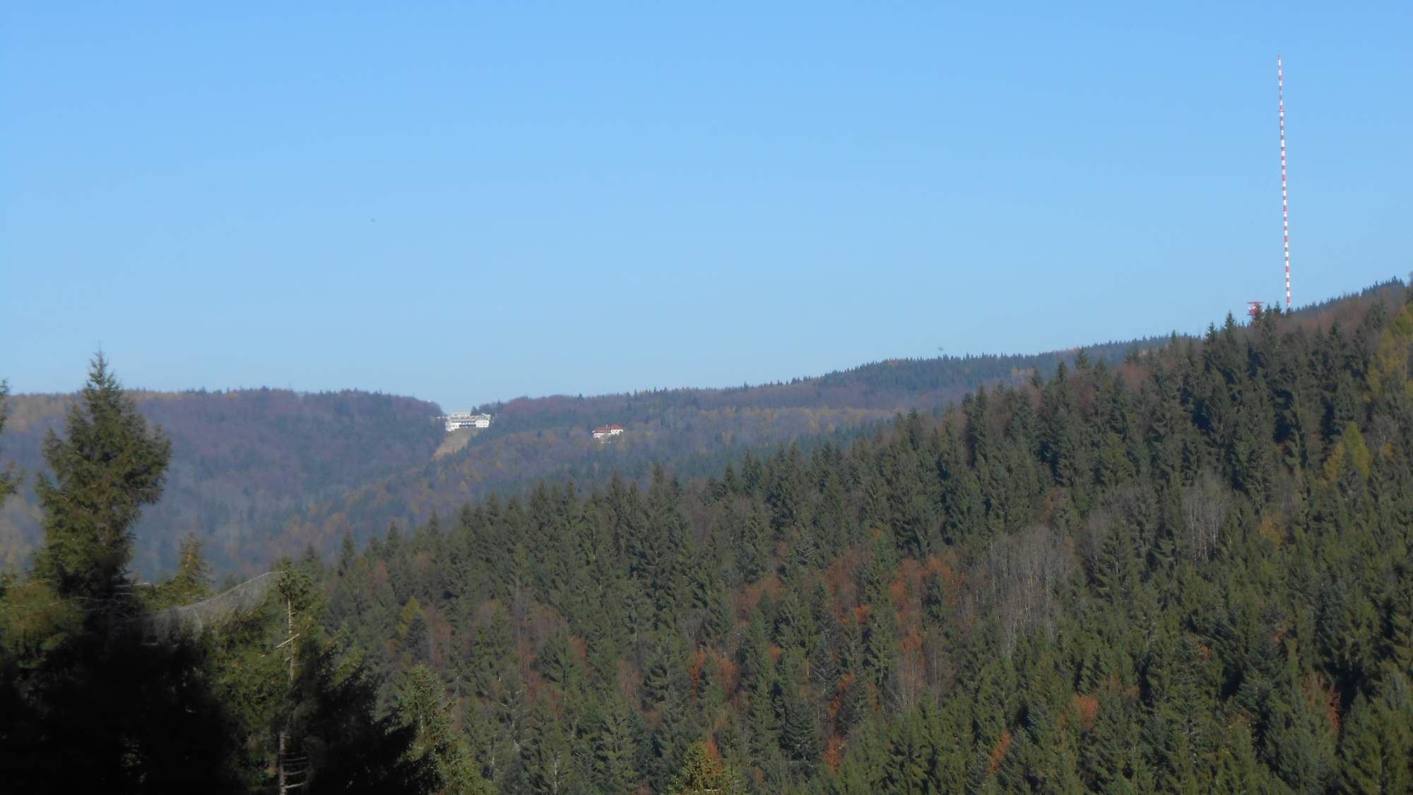
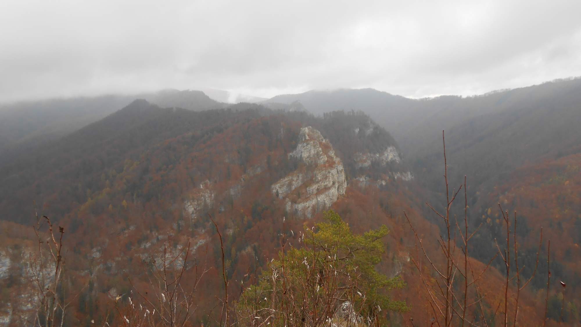
After the break, we walked the main trail back towards the hotel, this time from the opposite side. The forest was a bit bleak, trees stripped bare of their leaves (spruces grew only on the above-pictured peak). As we walked through the thick layer of dry fallen leaves, their hissing was ever-present. We reached a few places where we could see the surrounding landscape better – and it was a strange sight for me.
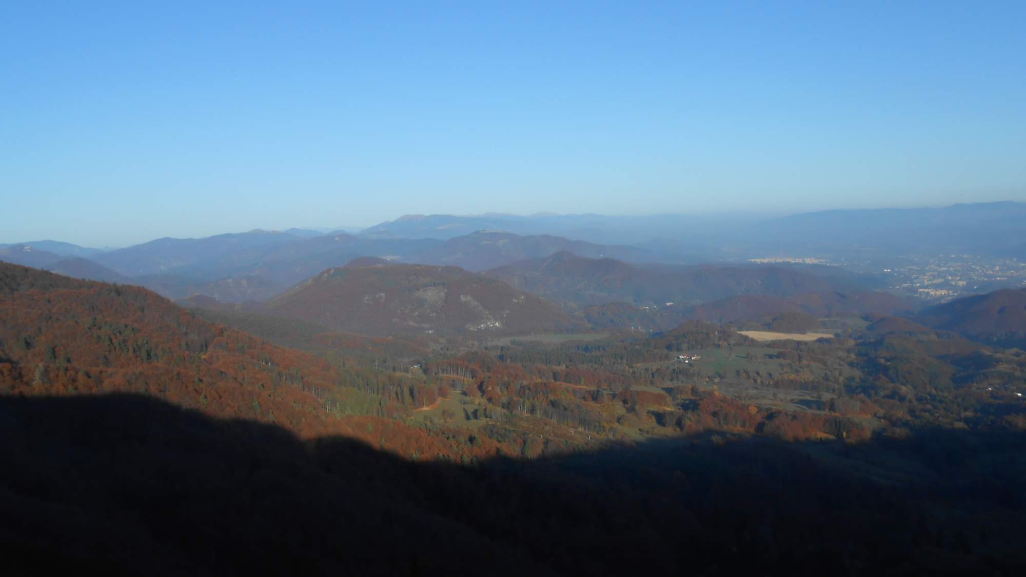
Not so much because of the colors but because I rarely venture this high into the hills in this time of year. Even around 14:00, the hills were casting long shadows over the landscape. There was the ever-present veil caused by the humid air which reduced the visibility (and quality of photos) but we were able to identify a few peaks – including the rock formation ‘Králova studňa’ and the fields below it that had me soaked through back in 2016.
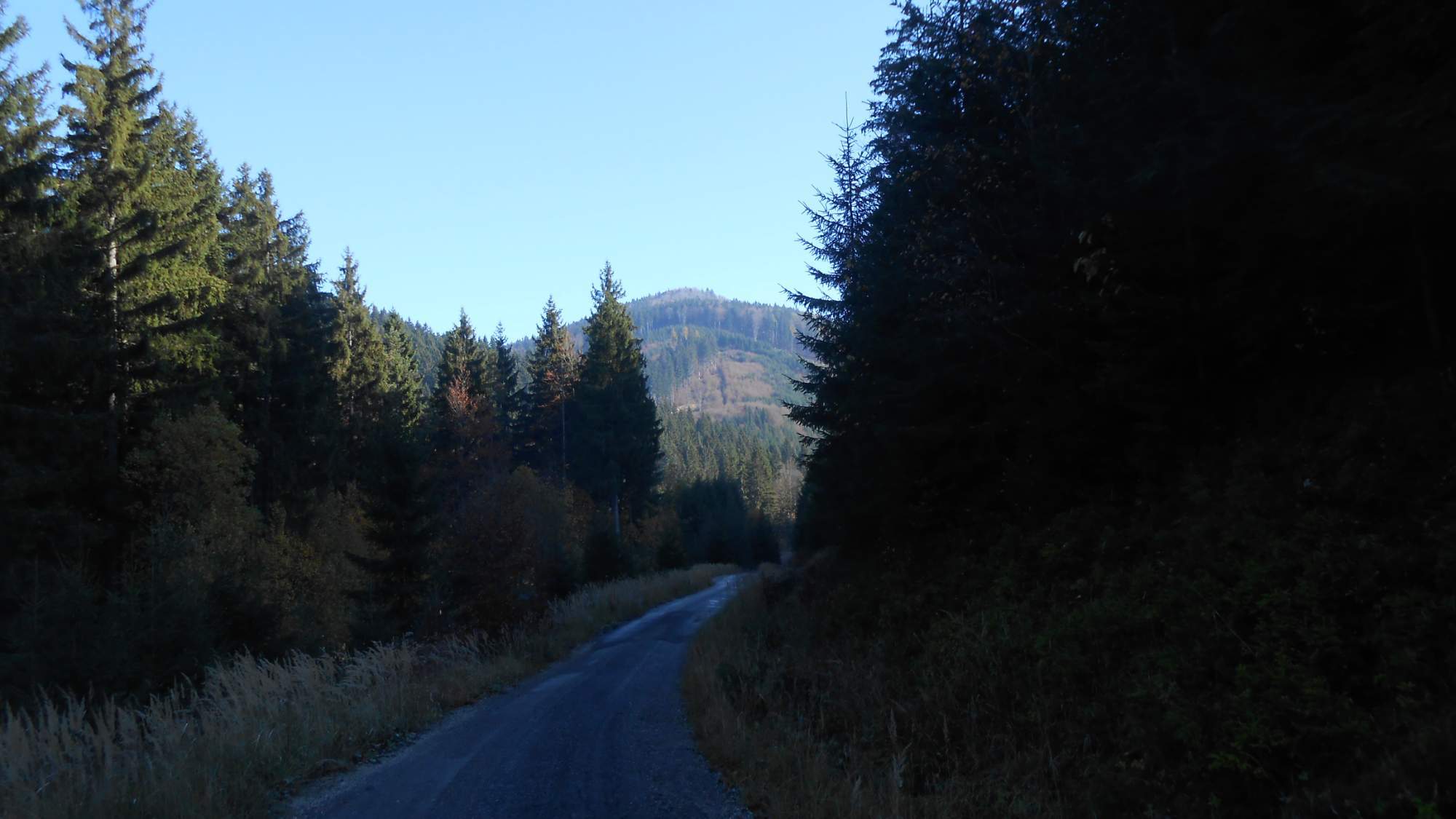
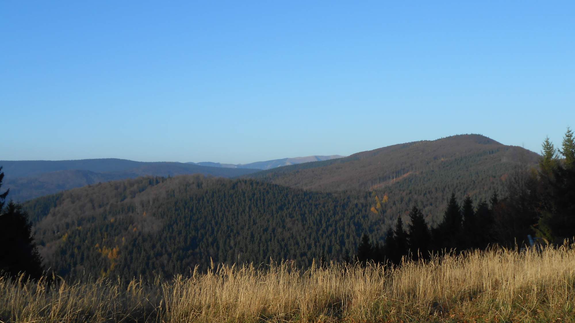
Yet, I tried to take a few pictures near the hotel, aimed for the trail we’ve crossed that day.
Day three – soaked feet
The night between the second and third day, it rained. I don’t know how much but it was enough to soak the ever-present fallen leaves through.
With the forecast being bleak, a choice was given: stick to the original plan and take the last hike, or board the bus at the hotel and visit a nearby spa town. Maybe 15 of us took the hike, splitting into three groups.
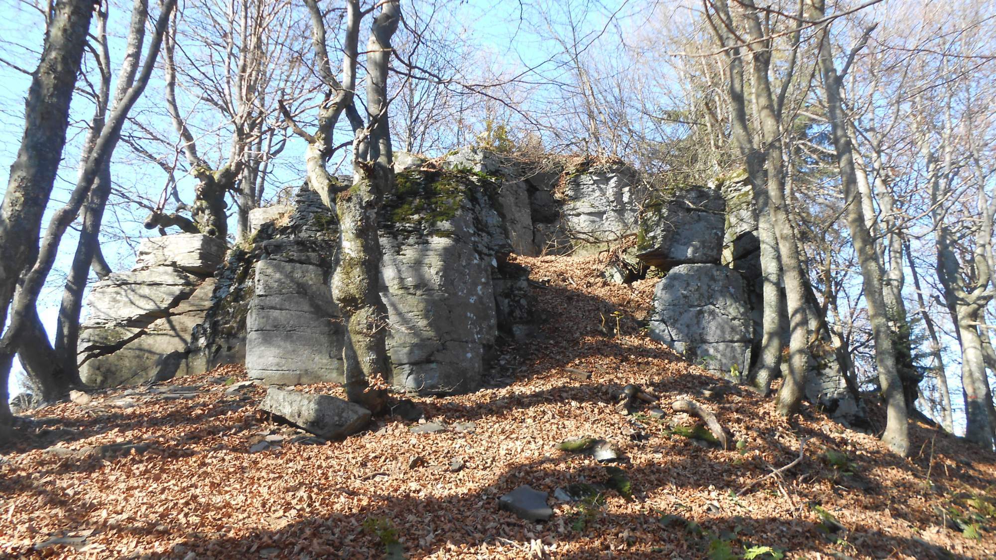
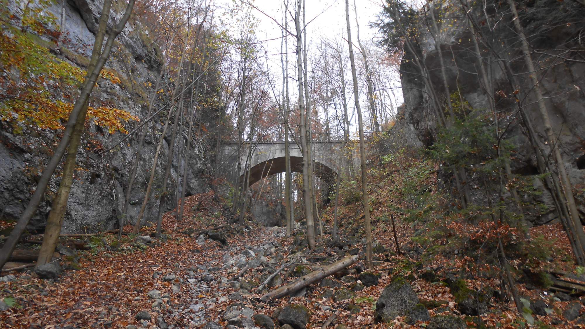
My group took a shortcut from the hotel, bypassing the Skalka peak and heading for one technical curiosity: a tunnel high in the hills.
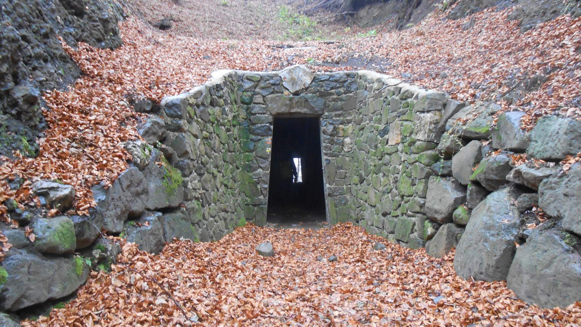
The original tunnel was built in 14th or 15th century as a shortcut for traders between Kremnica and Banská Bystrica, to avoid a detour around the hills, and was wide and tall enough for a horse-pulled carriage to pass through.
It was abandoned in the early 20th century when a road was built through another pass and eventually collapsed in 2013. It was repaired and cleared in 2016 but that reduced both width and height to what can be seen on the photo.
The natural ground level in the pass is some 20 meters above the tunnel but the slope just below the pass towards the other side would be too steep without it. Also, the main trail we used the first two days passes above the tunnel while the trail we took the third day passes through.
The descent from the pass was mild, using the old trade route. In a few places, it was visible that parts of the terrain were removed to allow carriages to pass through. It was an interesting experience for me – one of the possible secondary plot elements for the fantasy story I am working on deals with trade route through the hills and this helped me to get some idea of the dimensions.
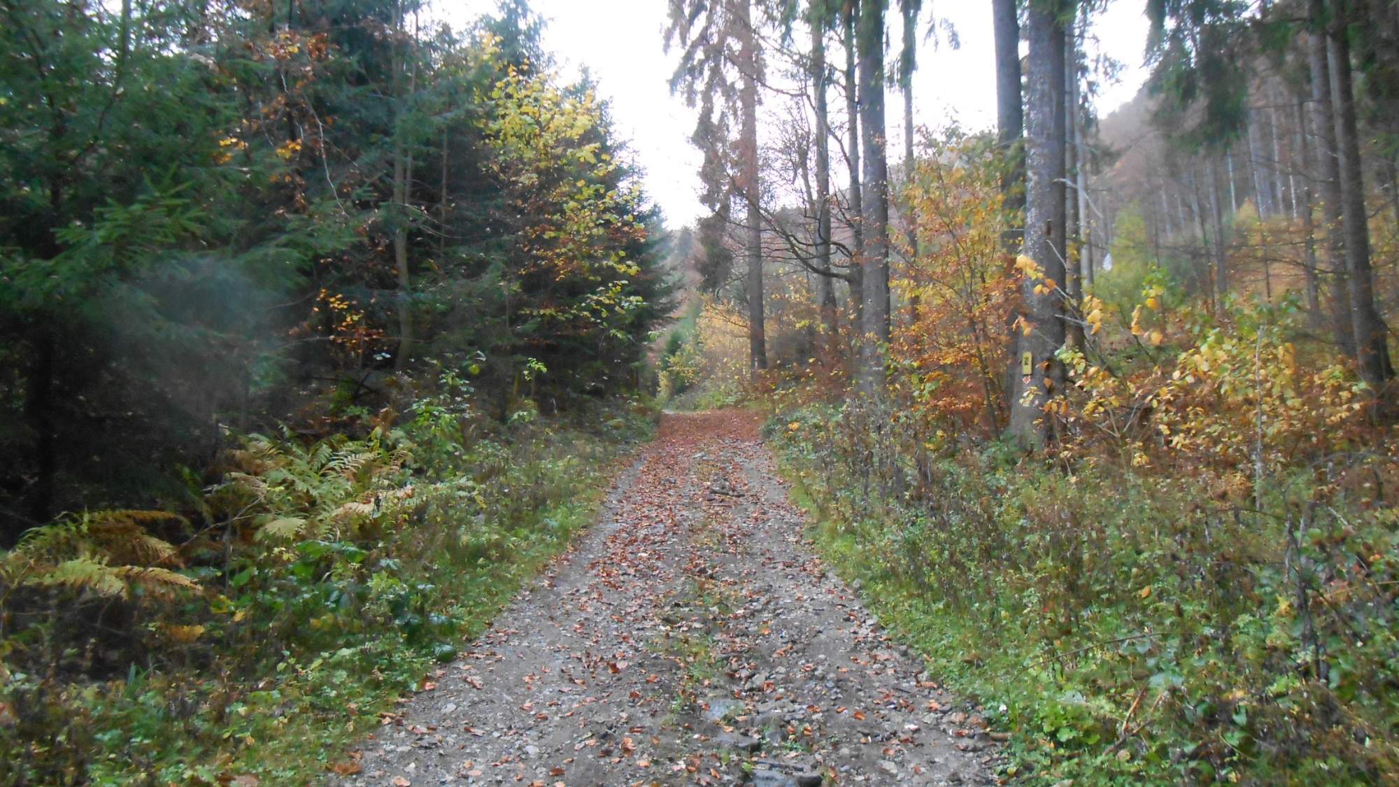
Continuing downhill, the clouds started to gather – two sunny days were enough luck, I suppose. Yet, there was no real rain – just a few lone droplets. After passing through a village, the trail ascended again.

It was from that pass on when things got worse. The leaves were really wet and slippery, which complicated the movement. They were also ever-present and masked any hints of a path so it was down to my superior situational awareness and navigational skills to see our small group through.
And it was there where my boots became completely soaked through and my trousers sucked the moisture knee-high despite the leaves being barely ankle-high.
It was even trickier during the descent – while we’ve seen steeper ones without doubt, the slippery wet leaves meant we had to be extra careful.
We passed around the caves (closed to public on Mondays, unfortunately) and descended to the valley – and the road through it where the bus was to pick us up. Unfortunately, electricity was off in the whole valley and so the restaurant was closed (though running a generator to keep the lights up while the staff had a cleaning day).
Thus, we walked around a bit – apart from the road, there’s a railroad through this valley, featuring the longest railroad tunnel of Slovakia at 4,7km – and followed by 21 shorter tunnels and over 100 bridges as the railroad winds up the valley, the total length of all tunnels being 12,1km.
Another thing we saw was this ‘slide’ built to help with sending lumber down from one of the side valleys to the lumber mill further down. It was restored as is still functional, even if unused. Even though the maximum length of a log it can transport is just 1 meter, the valley’s shape makes it easier than any conventional transport – even horses would struggle in the narrowest part of the valley, machines would have no chance. The slide is around 2,5km long and is crossed by the railroad roughly 0,5km from the lower end, in this place:
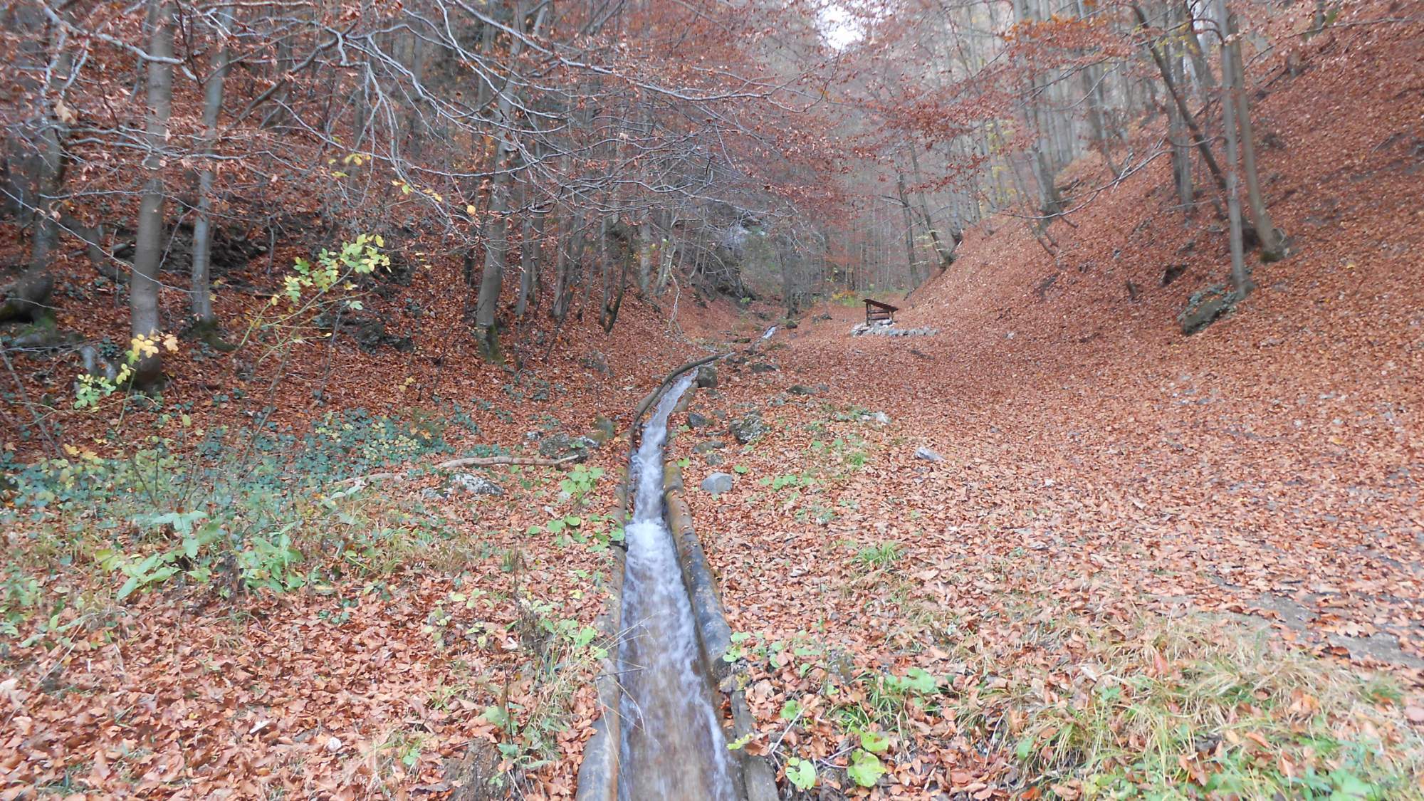
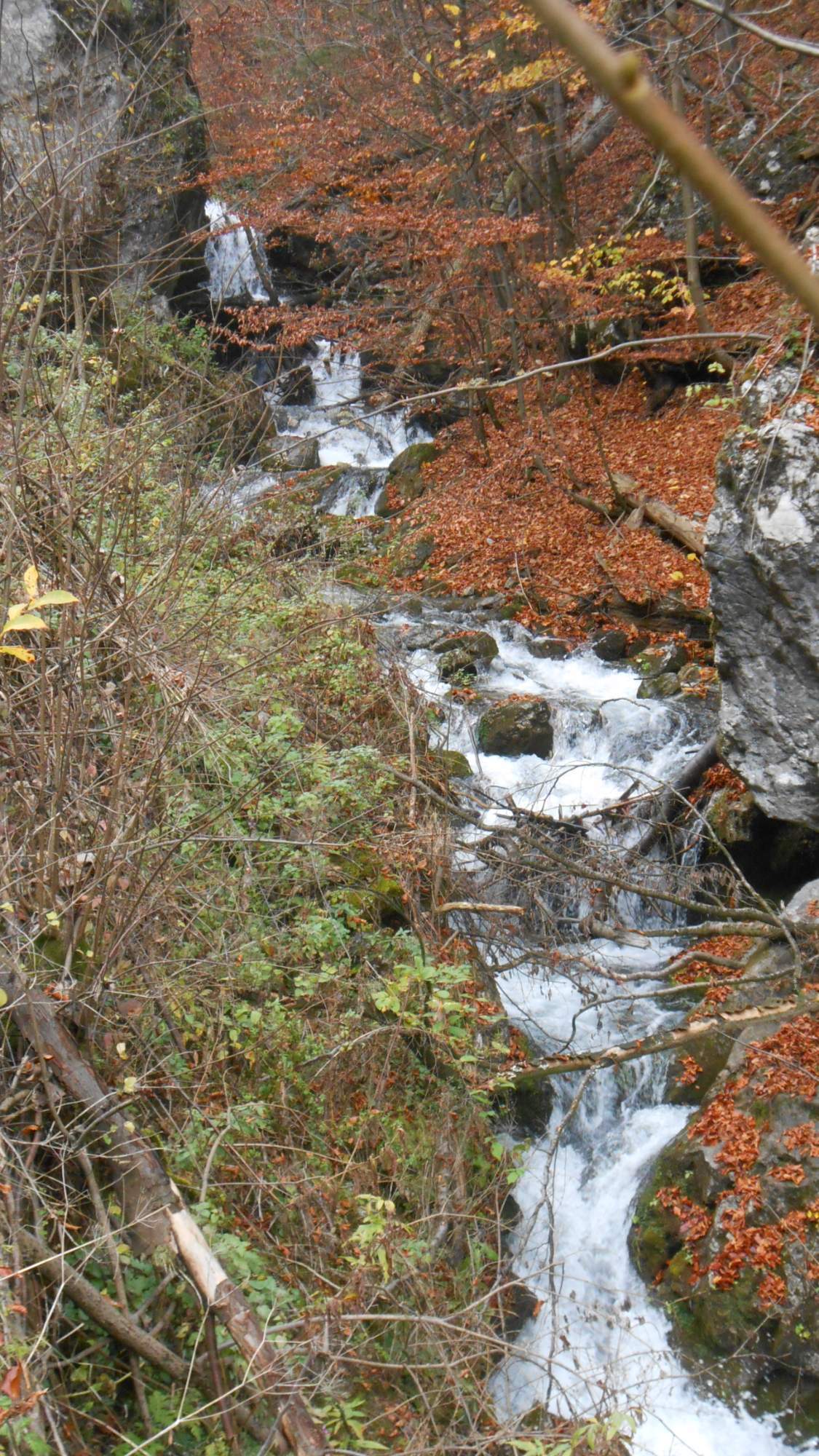
At the end, walking back to the bus, I took a photo of the small cascades on the main stream flowing down the valley, before closing the three-day journey.
I’ve mentioned in the past posts that I’ve made it my goal to reach 1000km hiked in 2019 – and those three days got me really close. At the end, the counter was at ~965km, leaving 35km to go.
A map of the three hikes below:
So, this was my three-day trip at the end of the October. With fatigue piling on me from the whole year, I’ll now take it easy the remaining two months, with two hikes in November (which I should describe at the end of the month in a single post) and one or two in December – which should get me well over the 1000km goal.
For now, thanks for reading and see you next time.
Comments welcome.
