
After the active August, my first hike in September came after two weeks of break on 14th. But I made it count.
This hike led me to a place tied to two memories. The first is a hike that took place on 15.6.2013. After a cold beginning of the month (around 10°C), this hike was in 25°C. And the first half of the journey was same as this time. The second one was from September 2016 when a friend convinved me to give a try to a 32km long variant of a hike that was planned for ~26km – and I felt so good that day we added a ‘bonus peak’ by actually climbing Borišov instead of just going to the chalet below the peak and pushed the hike to 34km. To this day, the 2016 hike is still in my top 5 in both length and difficulty. Furthermore, 2016 was my best year so far with the total at 947km.

It felt like a twist I was returning to the place in a year that has the chance to at least match the 2016’s 947km (though I am hoping for getting it to 1000). And, just as in 2013, the weather was very favorable. The morning was colder – expected in mid-September – but the walk uphill warmed us right up. With the same friend as in 2016, I accepted the challenge of ‘only’ 32km of walk which the official guide estimates at 10,5hr of walk time.
We had 9hr 45minutes at our disposal.
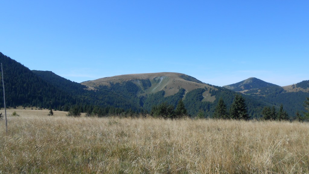
By the time we climbed Rakytov, the first peak at 1567m ASL, we’ve already sheared an hour off the official timer, getting there at 10:00.

We took a break there and took several photos as the conditions allowed us to look across… pretty much most of Slovakian mountains, as well as having a good look at what lay ahead.

The steep (and thus fast) descend from that peak allowed us to cut off a bit more off the official timer, after which we had an easier part with more level section of the trail, across one minor peak then bypassing the other (unpassable due to the complex limestone formation).

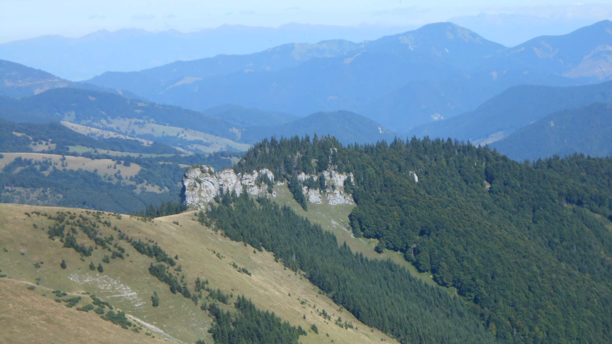
Said bypassed peak is called ‘Čierny kameň’ – meaning ‘Black rock’ in Slovakian, despite being made of quite white limestone. I guess most of it is because the overhangs and the forest make it look darker than it is when seen from distance.
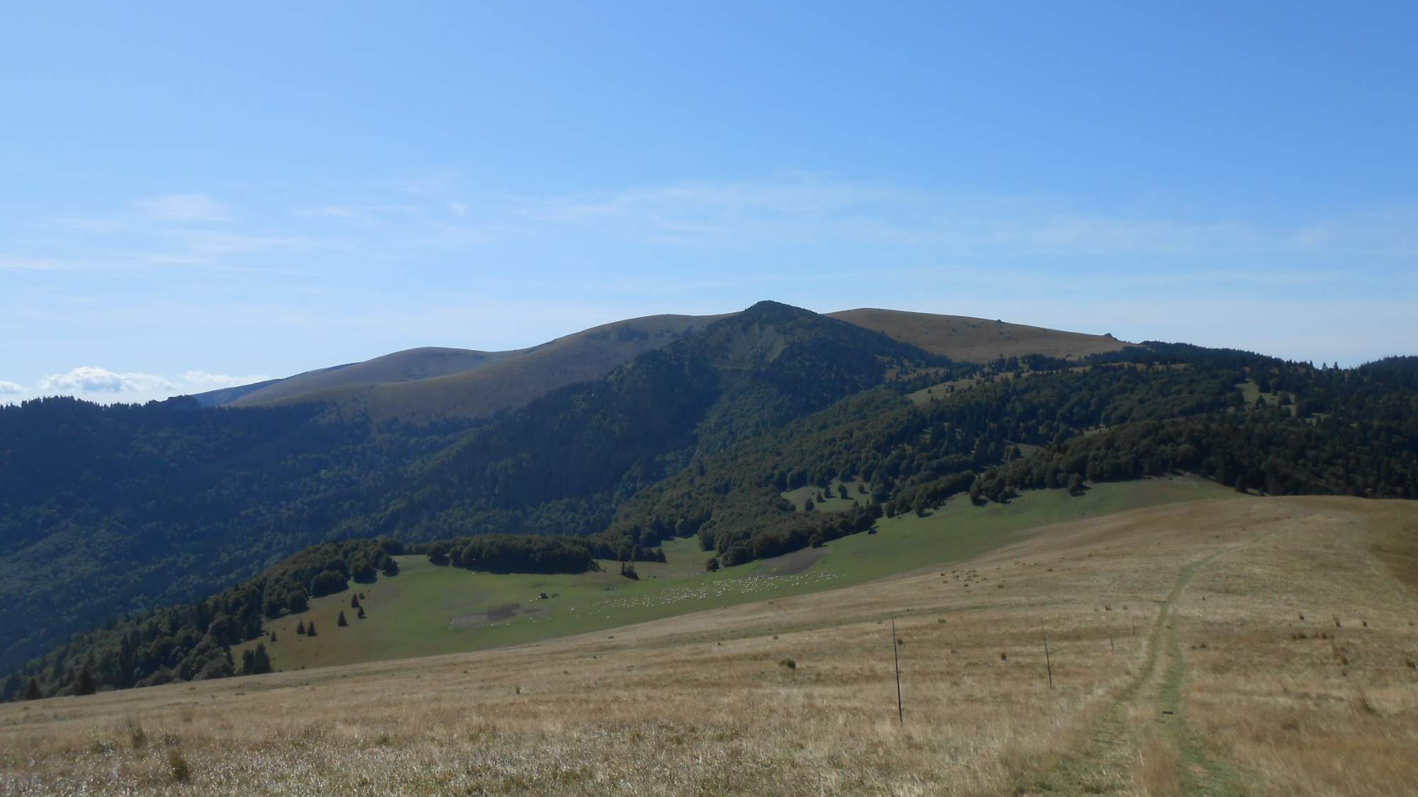
The next peak was a grassy plateau which posed little challenge – after all, most of the hard work was done by the time we reached the first peak. Still, the ‘flat mountain’ posed several nice sights. Especially the avalanche-scrapped slopes behind the precipice of the flat part.
Afterwards, we had a portion of easy descent towards a pass where I left the main trail back in 2013. This time, we faced the last major ascension towards the highest peak of the ‘Velká Fatra’ mountain range. After ascending above the forest again, we could enjoy the sun’s warmth on a stretch of grassy plains spanning maybe some 7km of the trail.
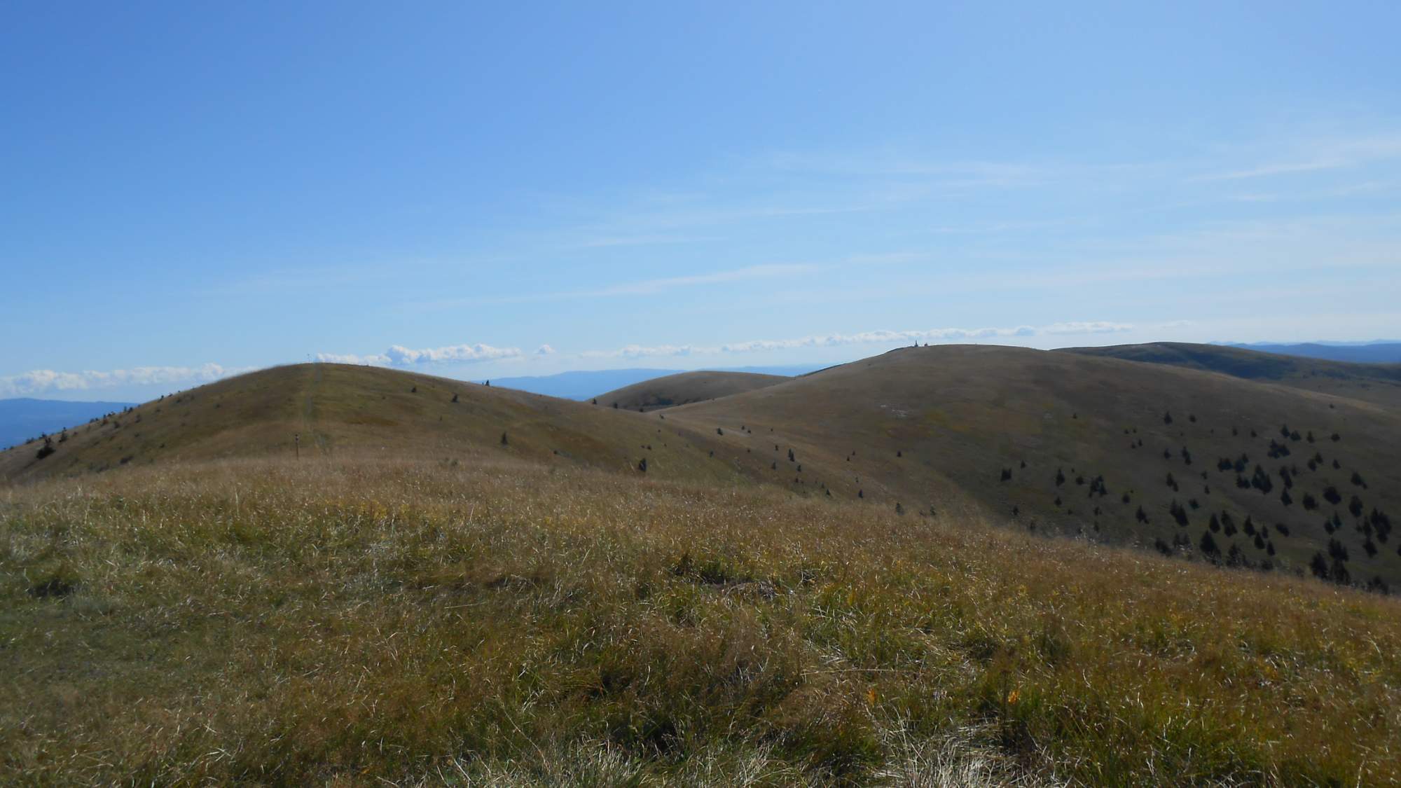
This final ascension took us around the slopes of a minor peak, then across those grassy plains to the ‘crown’ of the mountains. This carries an interesting story as well: recent measurments revealed the actual highest point is 300m away from where it was believed to be, measuring 1596m ASL (the peak before believed to be highest was at the 1594m ASL mark).

On the slopes of those mountains, we could see a few more interesting rock formations.
And, reaching the final peak, we could look at the mountains again, this time pointing out where we started instead of ‘we plan to go all the way there’.

By the way, time is on reaching each of those peaks. We took 20 minute break on each.
From this peak, we could see some peaks obscured by other mountains compared to the first peak, as well as the field which was to start our descent.

The journey from the peak to the valley started with a sharp descent, then turned into a dry stream, followed by an overgrown path, until we reached the valley and could give our feet some rest on a shoddy road to reach the village where our hike ended. Even with all the breaks we had, we reached the village with an hour to spare.
And so, another enjoyable day was over. It was probably the last hike of 2019 I was able to do in shorts as the days – and especially the mornings – started becoming colder since that day.

Pingback: 2019 hiking highlights | Tomas, the wandering dreamer