
The previous Saturday (7.7.), I left for an 8-day hiking holiday. Over the next couple of weeks, I’ll be sharing some stories and photos from that time. Today, I start with the first two days.
Day one: prologue
Since the journey took some 6-7 hours of a bus ride, the first day wasn’t a full-length hike. Instead, we stopped at a chateau that was more or less on the way, near Hradec Králové. Built around 1850, it avoided the main “killers” of castles and chateaus – the Hussite revolts in the early 1400s and the Thirty-years war (1618-1648). However, it served as a field hospital during the Austria-Prussia wars (specifically, a battle in 1866).

That day, the chateau (and its gardens, now used as a golf course) were quite crowded due to an annual event featuring bards, people in historical costumes, falconers, and honey and mead contest, among other things.

Personally, I have quite the admiration for those people – the weather was way too summer-like with temperatures around 30°C, so it had to be quite uncomfortable in that clothing. Hoping for some lookout, I took a tour of the clock tower, but the woods around the chateau are close to outgrowing the tower, so the lookouts were limited. Good enough for the eye, not good enough for the camera.
After this stop, we covered the remaining journey. To my surprise, the hotel was relatively high in the hills (~900m ASL) with a good lookout west/north-west.

As usual for my hiking holidays, the accommodation was simple, but there’s little I need on a hiking holiday. What became a running joke in the 57-people group for the rest of the stay was the scarce amount of meat in our dinners (and, save for vegetarians, anyone will tell you that meat is handy after a workout of any kind). Picking a table with the best view became a double-edged blade: the view (pretty much matching the photo above, taken from my room on the second floor) meant getting slapped in the face by the setting sun.
Day two: where are my gloves?
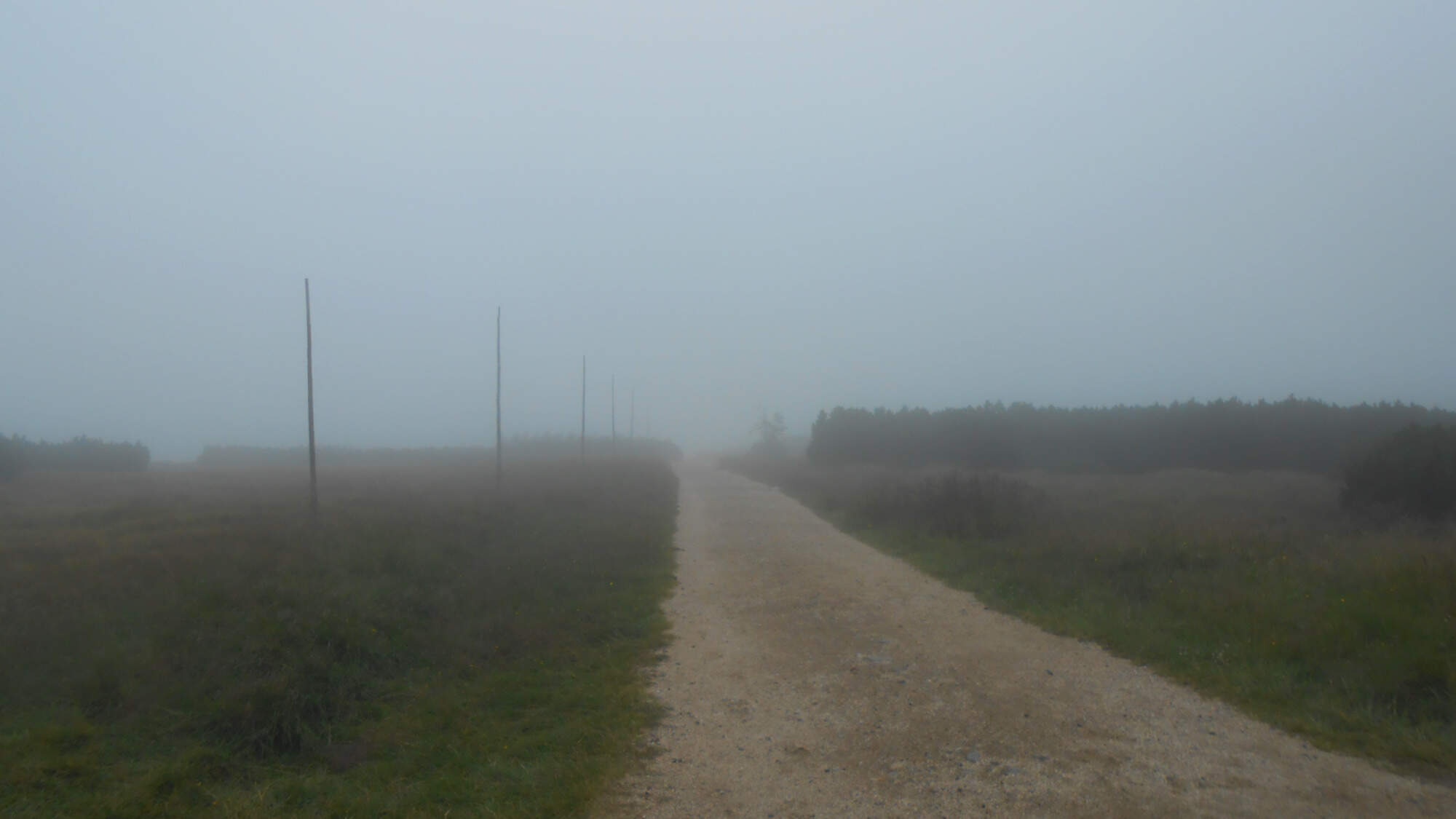
The next day was to be our first – and the longest – full-day hike. The weather, however, decided to give us a bit of extra challenge. While we were lucky, and it didn’t come to all-out rain, the mist and strong, cold wind were noticeable. I set out in a long-sleeve shirt and long trousers, but kept the sandals to avoid overheating my feet during the very first hike. Fortunately, the thick socks helped. Ascension to the main ridge, creating the border between the Czech Republic and Poland, was done mostly within the fog with no lookouts.
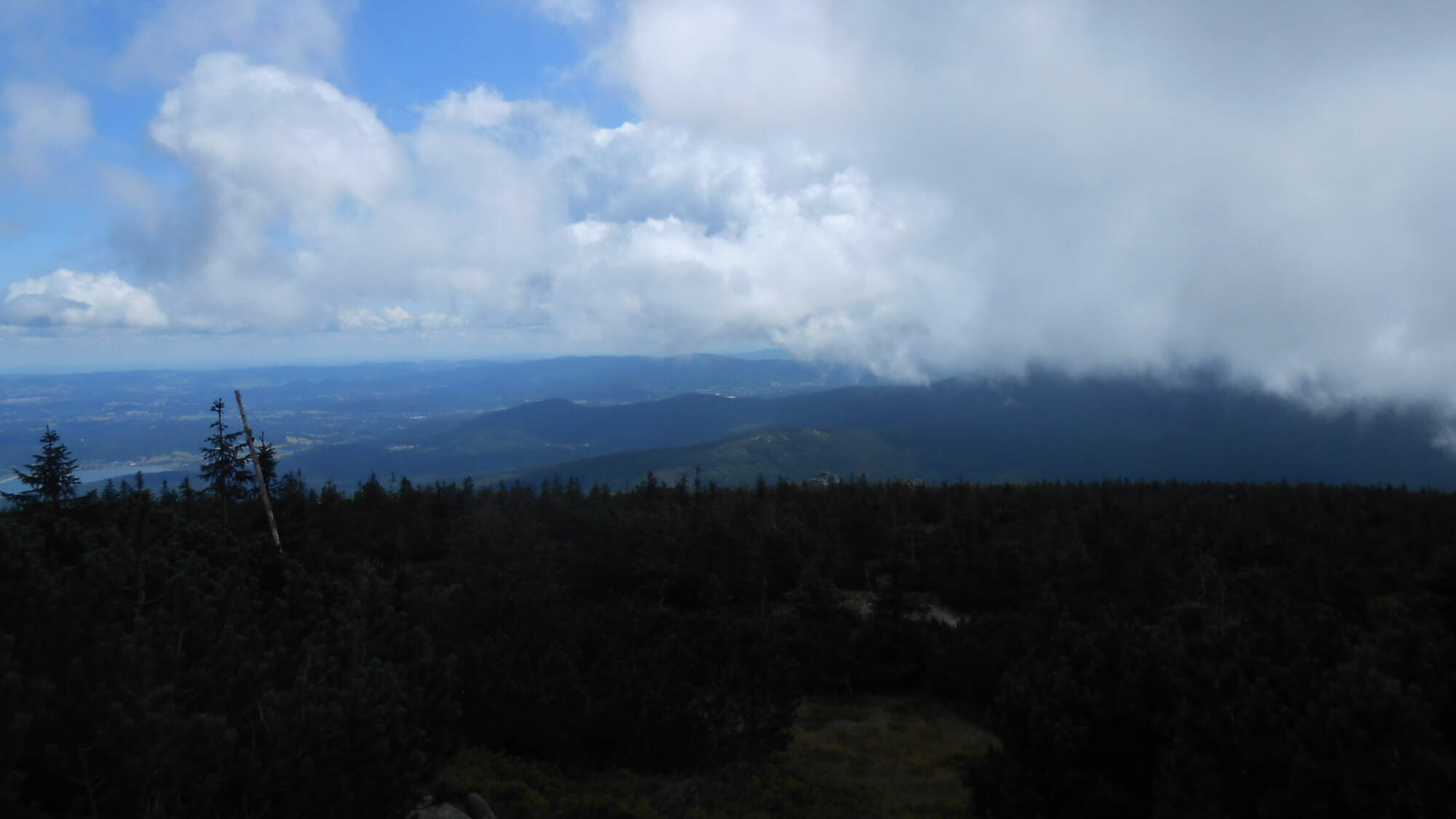
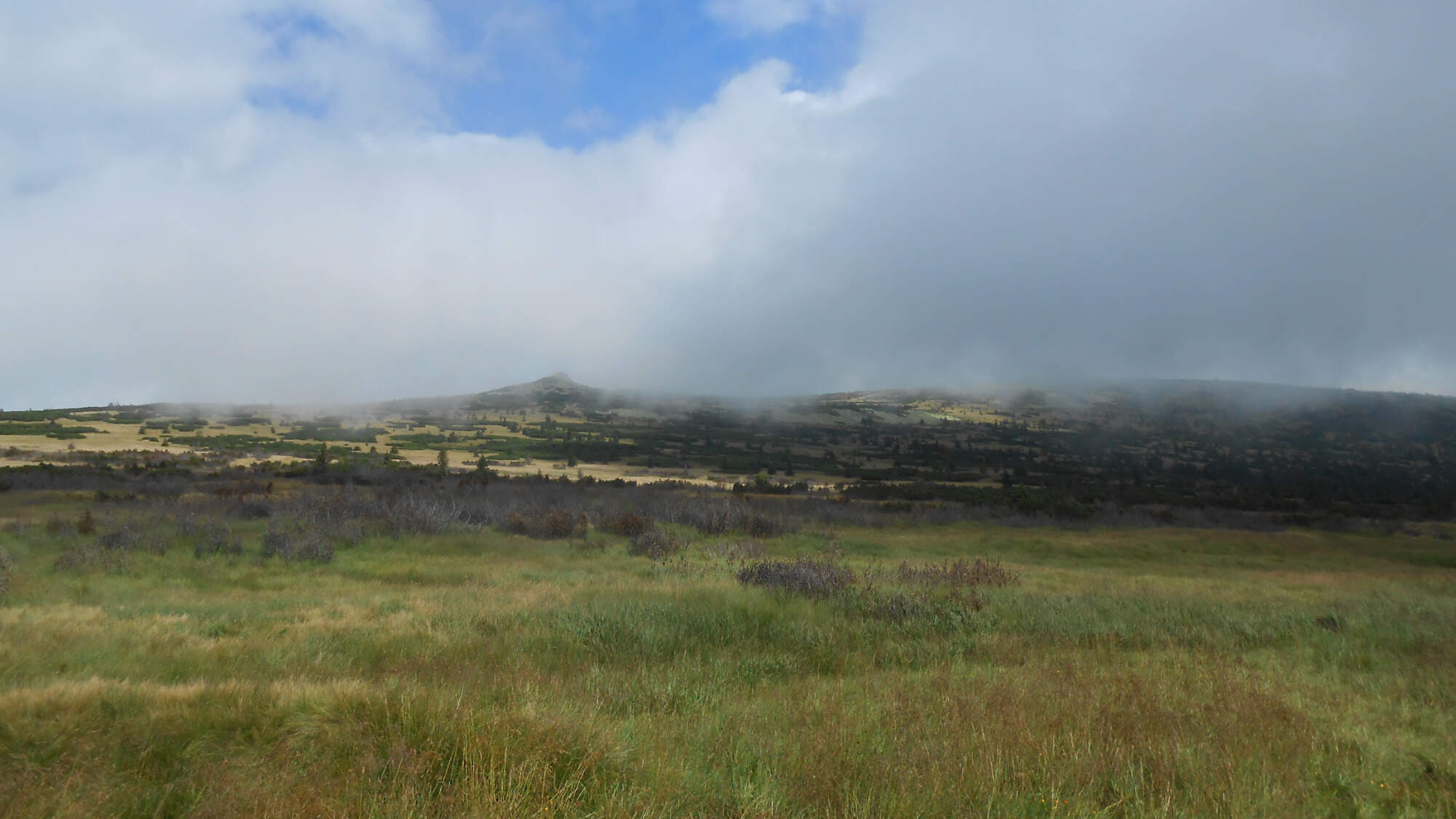
It would seem the clouds were afraid to cross the border. The borderline trail was shrouded in fog for one moment, then it stopped a bit lower for another, and thus it weaved in ~10-minute intervals.
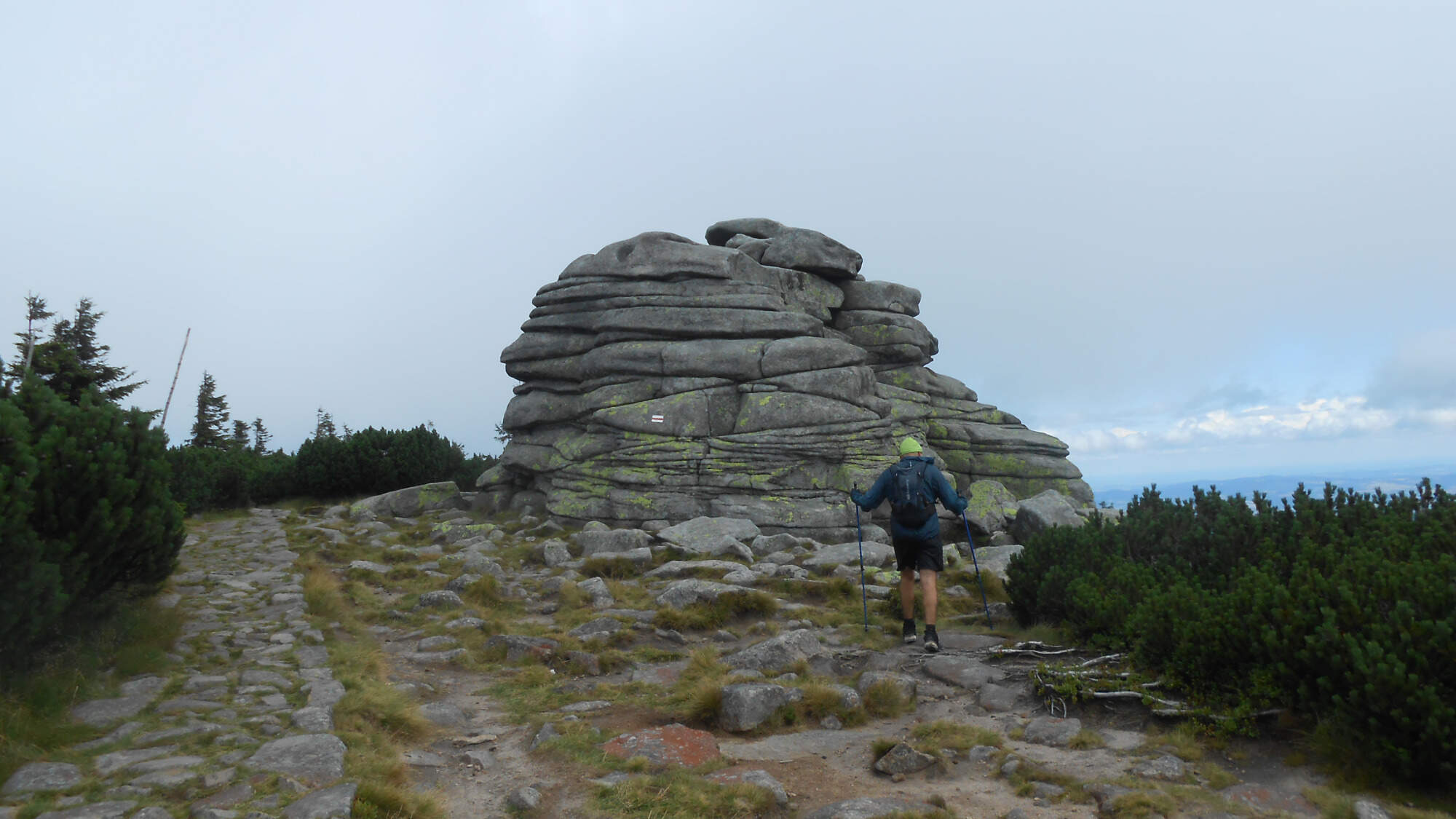
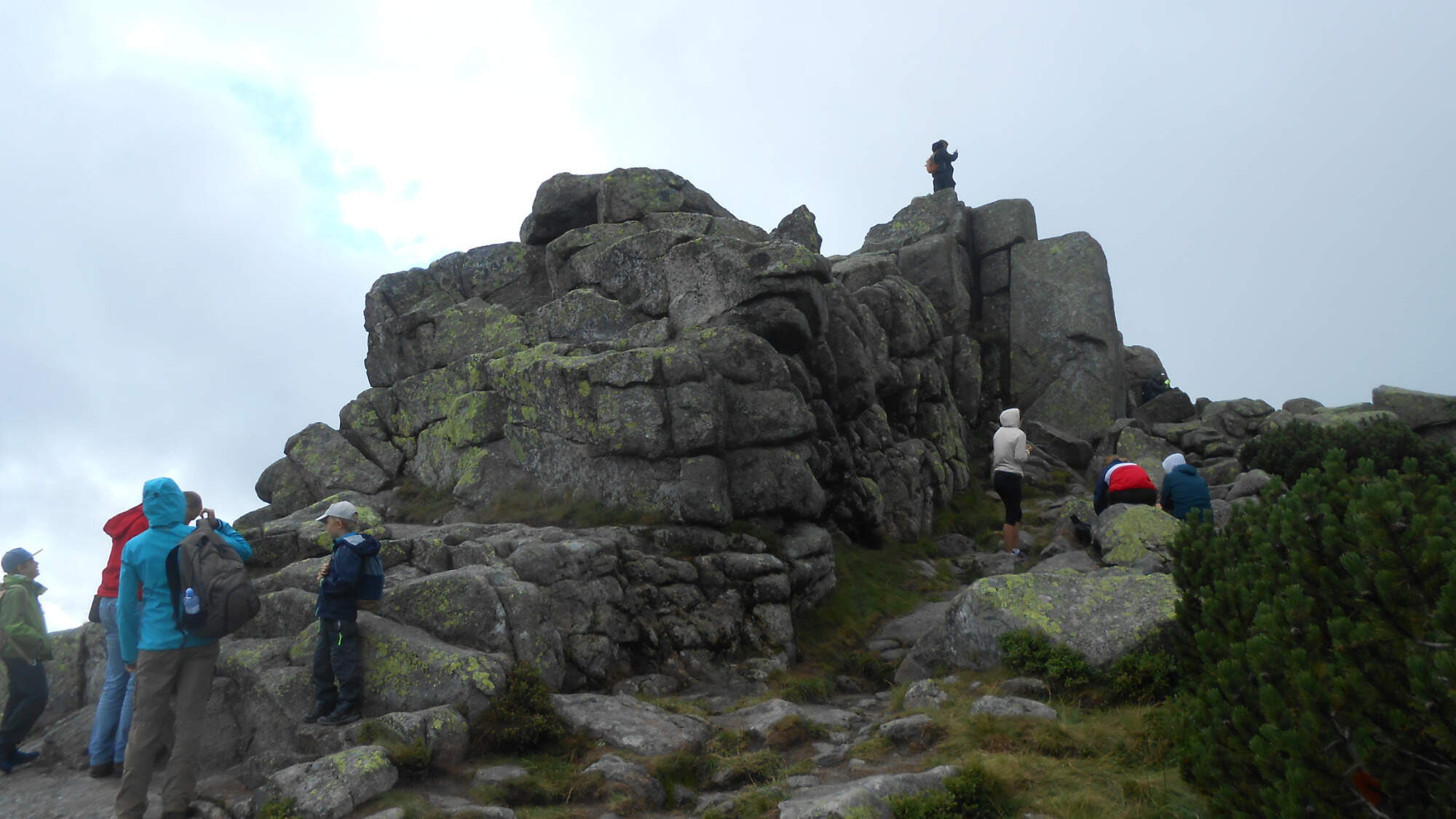
After getting to ~1400m ASL, the trail passed two rock formations, though that portion was more on the cloudy side than the other, so the pictures don’t make them shine that well.
Then, the path weaved up and down, with a couple of raindrops (nothing more than a couple, really) and a chance to look north towards a pair of small lakes.
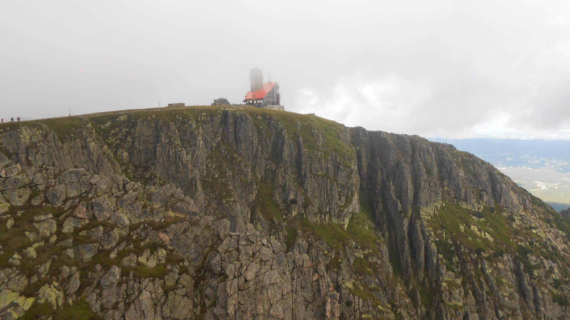
The trail then ascended to ~1500m ASL, which was the windiest portion. The fog was blown over the edge, partially dispersing, partially falling off the chasm. Unfortunately, this meant the view was less than ideal when I neared the former hotel at Śnieźne Kotły (now only serving as a TV transmitter). Then, for people afraid of heights, I guess that was a good part, considering it stands quite near the chasm…
Following the border, the mist was intense for a while, but it started getting better once I turned away…
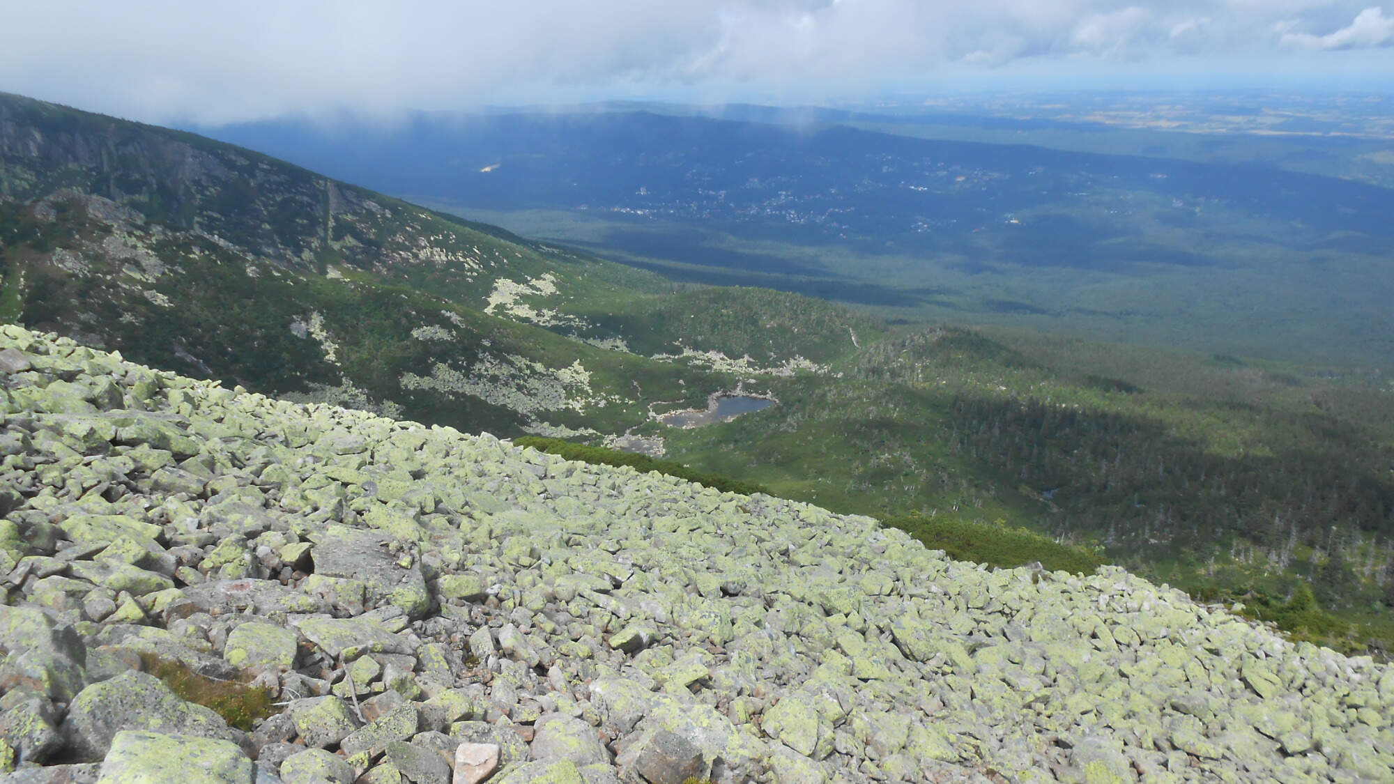
By the time I reached the spring of Labe (in Czech)/Elbe (in German) river, the weather was beginning to clear. The spring itself is somewhat artificial (the actual spring is in the highland moss bog, so the formal spring is in a safe place on the marshland’s edge) and features mosaic crests of several towns the river passes through.

A short distance from the spring, the river falls down its valley, with a 30-meter waterfall that can be reached and seen from above.
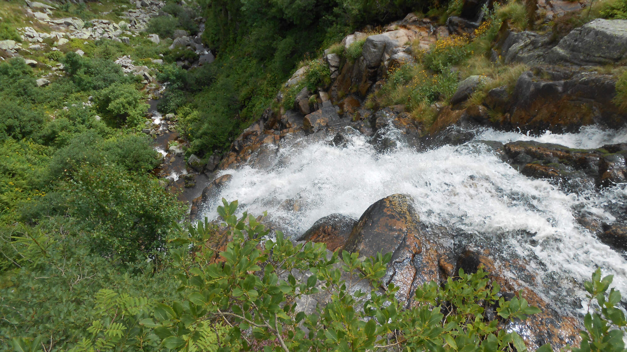
The trail then moves a bit aside, weaving down the slope. After the main descent, it crosses the stream and follows it from the opposite side, staying slightly above the valley’s bottom. The now-clear weather allowed me to see on the other side of the valley. Its slope is adorned by another waterfall – in fact, a cascade of several smaller waterfalls with its total height of 148 meters.

The total height can reach up to 160 meters – during particularly strong snowmelt, it’ll create a longer branch (on the photo above, I presume it branches to the left at the lowest portion, where the exposed rock is).
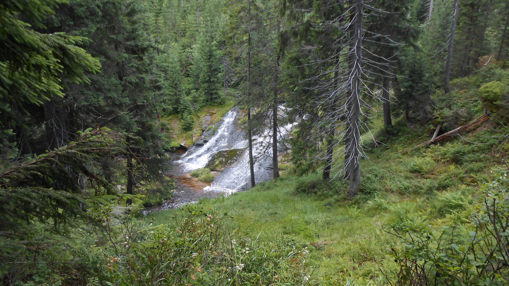
The trail eventually levels out from a sharp descent, with several smaller waterfalls and waterslides on its way through the valley.

The day, despite its bleakly-looking start, turned out great. Then, I’m not someone to be stopped by weather, unless it’s a persistent storm. Fact is, the week before our holiday, it rained a lot. The week after us, the forecast promises rain again, so I guess we won the weather jackpot, as you’ll see in the next parts. For now, I’ll close it with a picture taken from the hotel with the nearing sunset.

So, that were the first two days. I’ll try to cover the remaining six by pairs as well. More photos are coming, as well as some plot twists, so to say. And I’ll try to prepare a map for the second part. I hope the summer is treating you well. See you soon.

Such gorgeous photos! And the annual event looks like so much fun, I love the costumes, but I agree, they had to be uncomfortable in all that heat. Looking forward to the next installments.
LikeLiked by 1 person
Thanks! I hope the next parts won’t disappoint.
LikeLiked by 1 person
Pingback: 2021 retrospective: hiking (mis-)adventures | Tomas - the wandering dreamer